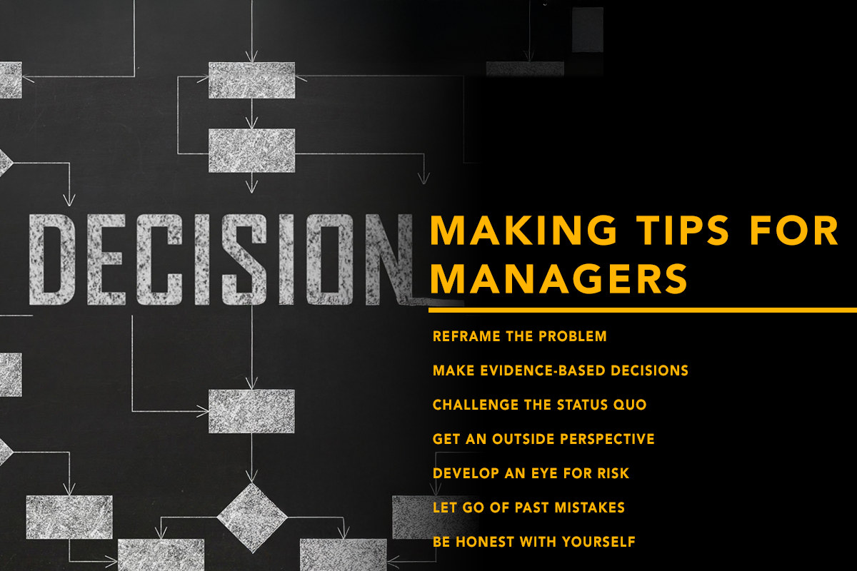

When you think about a drone, you’re likely imagining an unmanned aerial vehicle, capturing stunning images or shocking acts of war. Bashir Khan wants to change that. Khan is the founder and CEO of AirMatrix, a company that created traffic management software to help scale the use of drones. AirMatrix builds millimeter-precise maps of the skyways in urban airspaces around cities for municipal governments and enterprises to use.
Earlier this year, AirMatrix helped complete one of the most complex drone missions in the world to date. The technology grants safe, accurate, 3D routes in real-time to enterprise drones, incorporating beyond-visual-line-of-sight operations. Khan believes drones are the key to unlocking a world of possibilities.
Where did the idea for AirMatrix come from?
I was on the University of Toronto Aerospace Team, and we started a drone delivery company. It got me thinking about the power of location. I thought, if Amazon Prime Air were to scale, then any inventory-holding business could be wiped out, theoretically. And I could see that people living in dorms could get cereal down the street, but they’d rather get it delivered.
I thought, “This is the Canadian dream. Start a small business, your kids go to university, and you move up in society.” We started a drone delivery app, and we took it to retailers in Toronto. We launched and found that there were a lot more problems to deal with than just regulatory. It was technical issues around the fact that cities aren’t mapped for aerial autonomy. We had to ask for forgiveness rather than permission to understand what the problem really was.
How does AirMatrix help businesses and municipal governments?
If you’re an enterprise wanting to start flying, it’s a tedious process to get approval from the regulator. AirMatrix helps you get approvals faster. We also give users the data to make sure their flights and operation are safe, so they can take that data to the regulator.
If you want to have scalable, economic drone usage, you need to have it. A lot of companies don’t, and they end up losing money. But companies that use products like AirMatrix can deliver a lung between hospitals; they can operate over roads autonomously; they can do more complex operations that are done beyond-visual-line-of-sight, meaning the pilot isn’t actually looking at the drone. If you have to look at the drone all the time, then what’s the point? You’re sending people anyways. The idea is to have one person in a control center be able to operate multiple drones without having to be present. That’s where the economics makes sense.
Given the varied landscape of Canada, what are some of the complexities involved with mapping a city?
There’s this “ghost” in the airspace called electromagnetic interference. It messes with flight instrumentation, compasses, and GPS. It’s a moving force because there’s a bunch of inputs that create it, that can mess with the navigation inside a city. So, we map out what the electromagnetic interference looks like in the airspace. We collect that data at scale to the level where we can see what it would look like in real-time — based on factors like weather, buildings, cellular connectivity — so we can give a route where you’re not going to lose signal.
Even if we give you millimeter-precise-level maps in an urban area, buildings are reflecting signals all the time. A foot here or there — that’s the difference between crashing your drone or flying safely. When it comes to areas that are further away that don’t have the right level of cellular connectivity, you need to do a lot more mapping of radio signals and less aerial mapping. You’ll have issues related to extreme weather that could also impact electromagnetic interference or wind patterns around buildings.
What are some of the legal hurdles you’ve had to overcome to develop this technology?
There are challenges that have to be overcome for the industry. We’re a software company. We map cities; we stitch that data together in a way that’s compatible with any autopilot. There’s nothing we have to worry about in terms of building our product. When it comes to deploying our product, there are regulations in place to allow you to operate up to five drones, but you have to go through a rigorous permitting process. So, it’s not really practical. There are drafts and proposals that’ll enable operators and pilots to operate more drones and operate them beyond-visual-line-of-sight. That’s what’s going to help scale the industry.
We’re helping enable those regulations from a data standpoint to be safe and friendly towards industry. I spend two to three days a month in Ottawa meeting with Transport Canada and navigation service providers.
Marcus Medford | Contributing Writer